File:EMEP grid.png
From Opasnet

Size of this preview: 800 × 530 pixels. Other resolutions: 320 × 212 pixels | 3,340 × 2,214 pixels.
Original file (3,340 × 2,214 pixels, file size: 578 KB, MIME type: image/png)
The EMEP grid (50 km * 50 km resolution). The graph is from [1].
File history
Click on a date/time to view the file as it appeared at that time.
| Date/Time | Thumbnail | Dimensions | User | Comment | |
|---|---|---|---|---|---|
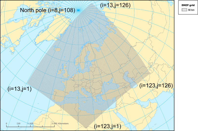
| current | 08:03, 7 July 2010 | | 3,340 × 2,214 (578 KB) | Jouni (talk | contribs) | i and J coordinates looked at a map and added to the graph. |
| 07:25, 7 July 2010 | 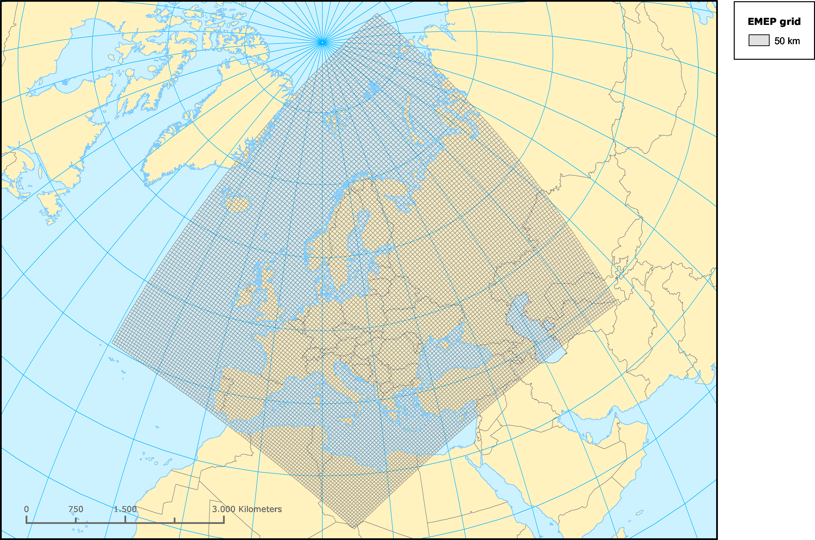 | 3,340 × 2,214 (709 KB) | Jouni (talk | contribs) | The '''EMEP grid''' (50 km * 50 km resolution). The graph is from [http://www.eea.europa.eu/data-and-maps/figures/eea-reprojected-emep-grid]. |
- You cannot overwrite this file.
File usage
The following page links to this file:
